

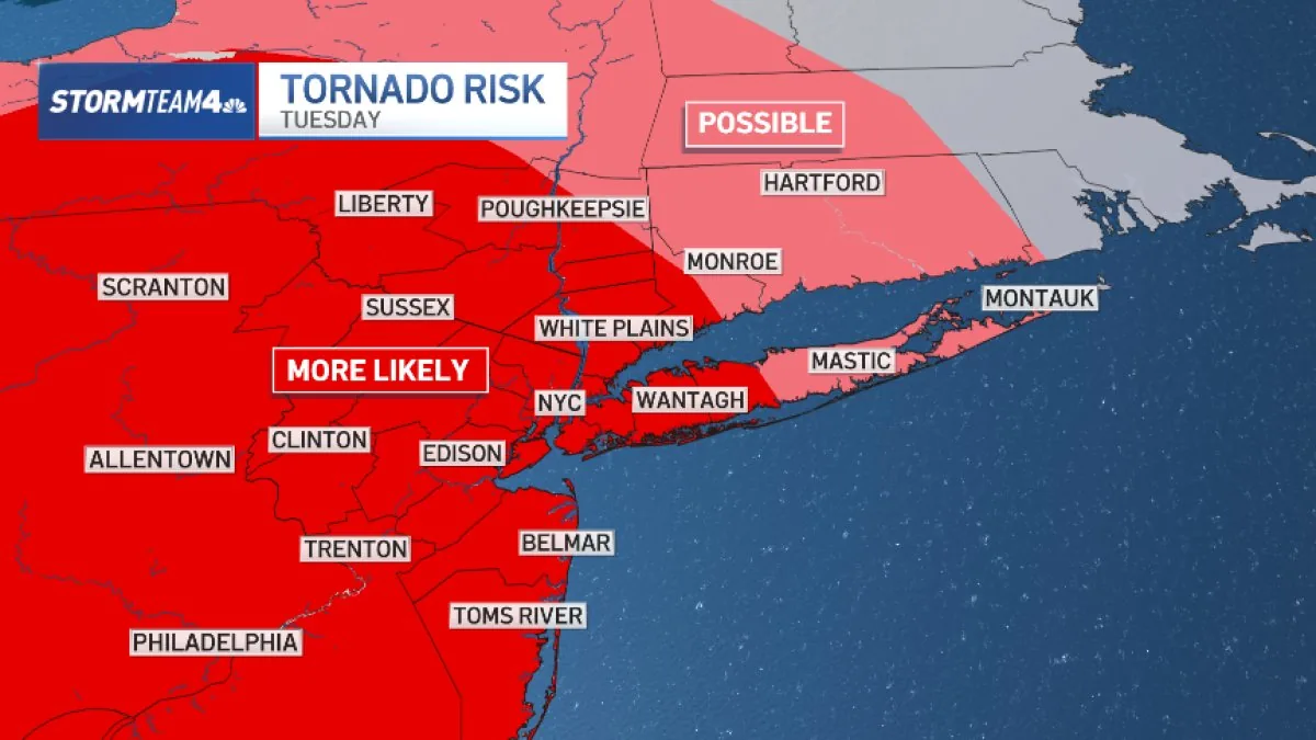
NEW YORK, NY — Another round of severe weather is expected across the tri-state area Tuesday, just days after a powerful system brought flash flooding and tornado alerts to the region. Forecasters say the main hazards again include damaging wind, isolated tornadoes, hail and flash flooding.
The strongest storms could produce wind gusts above 60 mph and rainfall rates of more than 2 inches an hour, enough to overwhelm low-lying roads, subways and other urban drainage systems.
Where is the flood risk highest?
Central and South Jersey are expected to face the greatest flash flood risk, though the entire tri-state area remains under at least a slight threat. The concern is especially high where heavy rain falls over a short period of time.
Officials and forecasters are warning that even brief bursts of intense rain could quickly create dangerous conditions on streets and transit routes.
Why do forecasters think Tuesday may be a little less disruptive?
One factor working in the region’s favor is storm speed. Tuesday’s storms are expected to move faster than Saturday’s system, which could help keep rainfall totals down and reduce the overall flood threat.
Even so, the quick movement does not eliminate the risk of severe weather. Strong storms can still produce damaging wind, hail and isolated spin-up tornadoes as they cross the area.
When will the worst weather move through?
The threat is expected to last much of the day, but rain will not necessarily fall continuously. Forecasters expect one, two or even three separate rounds of storms from morning into evening.
The morning period is more likely to bring scattered, weaker storms, while the mid-day through evening window is expected to be the most intense and damaging.
What happens after Tuesday’s storms?
Conditions should turn mostly quiet overnight Tuesday, though isolated storms could return Wednesday. A stray severe storm is possible east of New York City, but forecasters say the overall threat will be much lower than on Tuesday.
For now, the biggest concern remains the combination of fast-moving severe storms, localized flooding and the chance of brief tornado development during the most active part of the day.
Bronxville News keeps New York and the region covered, day and night.