

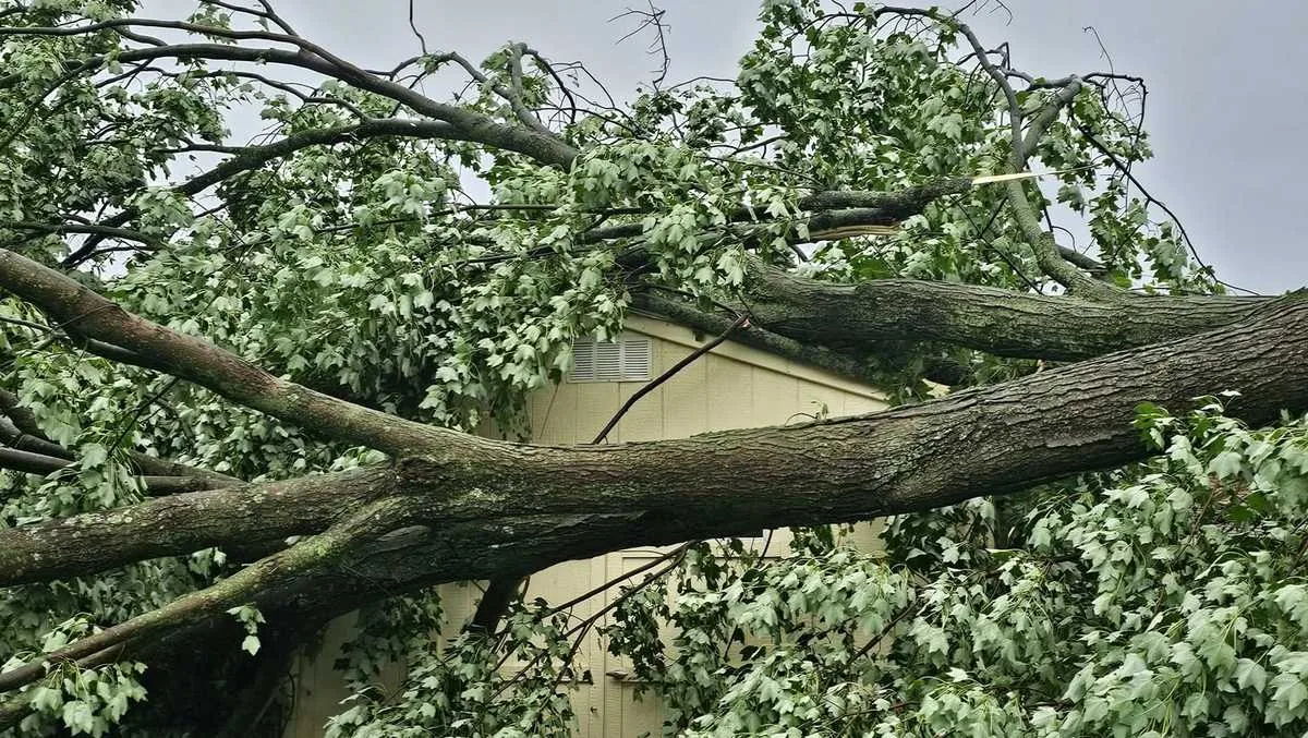
PITTSBURGH, PA — All watches and warnings have expired across Western Pennsylvania after storms swept through the region Sunday evening. The immediate threat has passed, but forecasters say the week still brings a quick shift from unsettled weather to a cooler, less humid pattern.
Temperatures are expected to settle into the 70s for highs and the 50s overnight as a cold front moves through. Clouds should thin Monday, with more widespread sunshine expected Tuesday.
What kind of weather is expected at the start of the week?
Forecasters say the air mass behind the front will feel noticeably more comfortable than the weekend conditions. Monday should bring a mix of clouds and sun with a high near 71 and a low around 54.
Tuesday looks like the brightest day of the early week, with mostly sunny skies and temperatures climbing to about 76 degrees. Overnight lows are forecast to remain in the upper 50s.
How long will the quiet stretch last?
The calmer weather is not expected to last through the entire week. Clouds will increase again by Wednesday, and showers are forecast to return late in the day as temperatures rise near 80 degrees.
Forecasters are also watching Thursday closely as another round of rain and storms approaches. The morning hours could be the busiest for the Pittsburgh area, and the day may qualify as an Impact Day because of the potential for widespread wet weather.
What should people expect on Thursday?
Thursday is expected to be breezy, with rain and storms possible through at least part of the day. The forecast suggests the morning period may carry the greatest chance for disruption before conditions improve later on.
After that, forecasters expect the weather to dry out heading into Juneteenth and stay quiet through Father’s Day weekend. That would give the region a longer stretch of calmer conditions after the midweek system passes.
What are the day-by-day temperatures?
- Today: Showers and scattered afternoon thunderstorms, high near 80.
- Tonight: Rain and storms ending around sunset, then mostly cloudy with patchy fog, low near 56.
- Monday: Cooler with clouds and sun, high near 71 and low near 54.
- Tuesday: Mostly sunny and pleasant, high near 76 and low near 57.
- Wednesday: Increasing clouds with late showers, high near 80 and low near 64.
Bronxville News keeps New York and the region covered, day and night.