

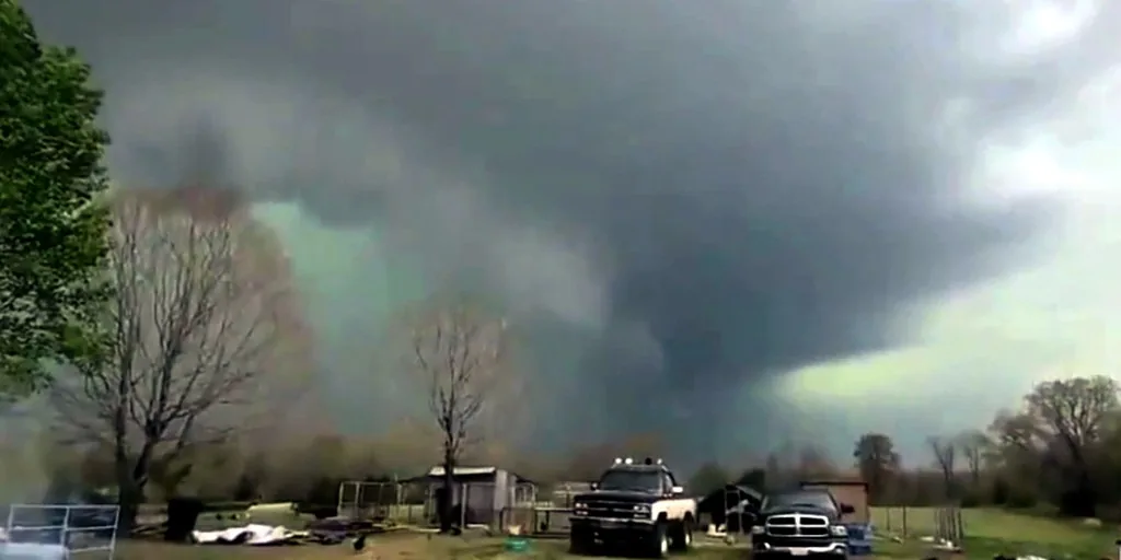
BURLINGTON, VT — A rare severe-weather outbreak is aiming at nearly 2 million people across northern New England and New York’s North Country, with thunderstorms expected to arrive Tuesday afternoon. Forecasters say the strongest cells could produce tornadoes, hurricane-force wind gusts and large hail in an area that does not often see intense severe weather.
Why are forecasters worried about this system?
The setup combines oppressive heat and humidity with a powerful storm system moving out of Canada. Temperatures in the upper 90s are expected in parts of the Northeast, with places such as Plattsburgh and Syracuse, New York, nearing record levels.
That hot air is expected to help fuel thunderstorms as the cold system pushes in, raising the risk for quickly intensifying storms during the afternoon and evening.
Which areas face the highest risk?
Noaa’s Storm Prediction Center has outlined a Level 3 out of 5 severe-storm risk for parts of northern Maine, northern New Hampshire, northern Vermont and northern New York. The higher-risk zone includes Presque Isle and Jackman, Maine; Berlin, New Hampshire; Burlington, Vermont; and Plattsburgh, New York.
Just south of that area, Bangor and Augusta, Maine, are under a Level 2 risk.
What hazards could the strongest storms bring?
Forecasters say the most intense storms could generate EF-2 tornadoes, wind gusts up to 75 mph and hail about the size of eggs. Heavy tree cover and widespread overhead power lines could worsen the impact, making the region more vulnerable to downed trees and outages.
Travelers on Interstates 95, 93, 91 and 87 are being urged to monitor the forecast closely as conditions change.
What happens next as the storms move through?
The worst of the weather is expected to develop in the late afternoon, although thunderstorms may continue into the night and overnight. Forecasters said impacts could be lower if storms arrive after the day’s peak heating, but the risk would rise if the system moves in earlier than expected.
The forecast remains active and may change as the storm system approaches northern New England and the North Country.
Bronxville News keeps New York and the region covered, day and night.